Home - Return to Previous Page
Garmin Overlander All-Terrain GPS Navigator
010-02195-00
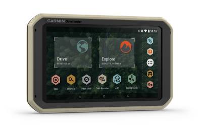
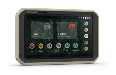
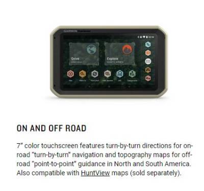
Overlander™ is a rugged, all-terrain navigator with a 7” color touchscreen that features turn-by-turn directions for on-road
navigation and topography maps for off-grid guidance.
navigation and topography maps for off-grid guidance.
Pricing:
$699.99
Description
Overlander™ is a rugged, all-terrain navigator with a 7” color touchscreen that features turn-by-turn directions for on-road
navigation and topography maps for off-grid guidance. Use your Garmin Explore™ account to wirelessly sync — via Wi-Fi®
connectivity* — your tracks and waypoints across your Overlander navigator, smartphone and desktop.
Built to go wherever the journey takes you, it comes pre-loaded with iOverlander™ points of interest, so you can easily locate the next campsite without
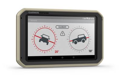
a cell signal. It also features pitch and roll gauges as well as an integrated compass and barometer.
Pair with an inReach® Minisatellite communicator2 (sold separately, satellite subscription required) for interactive SOS and two-way text messaging via the
Overlander device’s keyboard.
KEY FEATURES:
TURN-BY-TURN NAVIGATION
All-terrain navigator with 7” color touchscreen features turn-by-turn directions for on-road navigation covering
North and South America
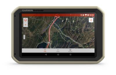
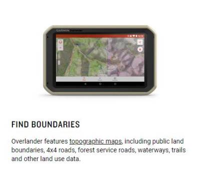
PRELOADED TOPO Includes TOPO maps with public land boundaries and 4x4 roads for both North and South America
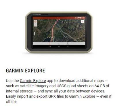
GARMIN EXPLORE™ APP Easily sync tracks, routes and waypoints across your Overlander navigator, smartphone and desktop
download additional maps including U.S. satellite imagery and USGS quad sheets on the 64 GB of storage
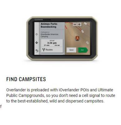
PREMIUM CONTENT Preloaded with iOverlander™ points of interest (POIs) and Ultimate Public Campgrounds, so you don’t need a
cell signal to find the best-established, wild and dispersed campsites
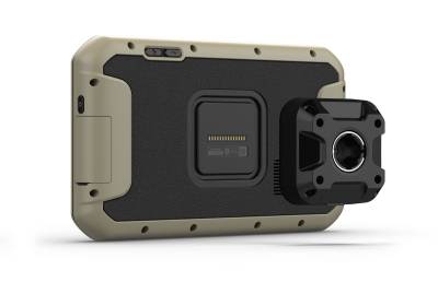
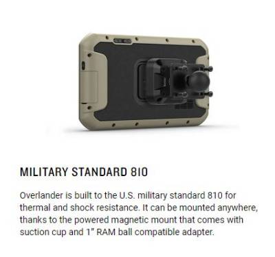
SUPERIOR MOUNTING Easily fits anywhere with a powered magnetic mount that comes with a suction cup or RAM compatible adapter
PITCH AND ROLL GAUGES Integrated pitch and roll gauges help you and your vehicle navigate difficult terrain
CONNECTIVITY Pairs with compatible inReach® devices2 (sold separately) for two-way text messaging, interactive SOS and weather forecasts
CUSTOM ROUTING Routing is based on height, weight and length for large overlanding vehicles
NAVIGATION SENSORS Built-in digital compass and barometric altimeter to help you get and maintain accurate bearings on or off the beaten path
navigation and topography maps for off-grid guidance. Use your Garmin Explore™ account to wirelessly sync — via Wi-Fi®
connectivity* — your tracks and waypoints across your Overlander navigator, smartphone and desktop.
Built to go wherever the journey takes you, it comes pre-loaded with iOverlander™ points of interest, so you can easily locate the next campsite without
a cell signal. It also features pitch and roll gauges as well as an integrated compass and barometer.
Pair with an inReach® Minisatellite communicator2 (sold separately, satellite subscription required) for interactive SOS and two-way text messaging via the
Overlander device’s keyboard.
KEY FEATURES:
All-terrain navigator with 7” color touchscreen features turn-by-turn directions for on-road navigation covering
North and South America
download additional maps including U.S. satellite imagery and USGS quad sheets on the 64 GB of storage
cell signal to find the best-established, wild and dispersed campsites
Details
- 010-02195-00
- 010-02195-00
- 753759235109
- Garmin
- New
Categories
Shipping Information
- Item Requires Shipping
- 1.8 lbs.
- W8.5000” x H6.0000” x L3.3000”
- Free Shipping!


